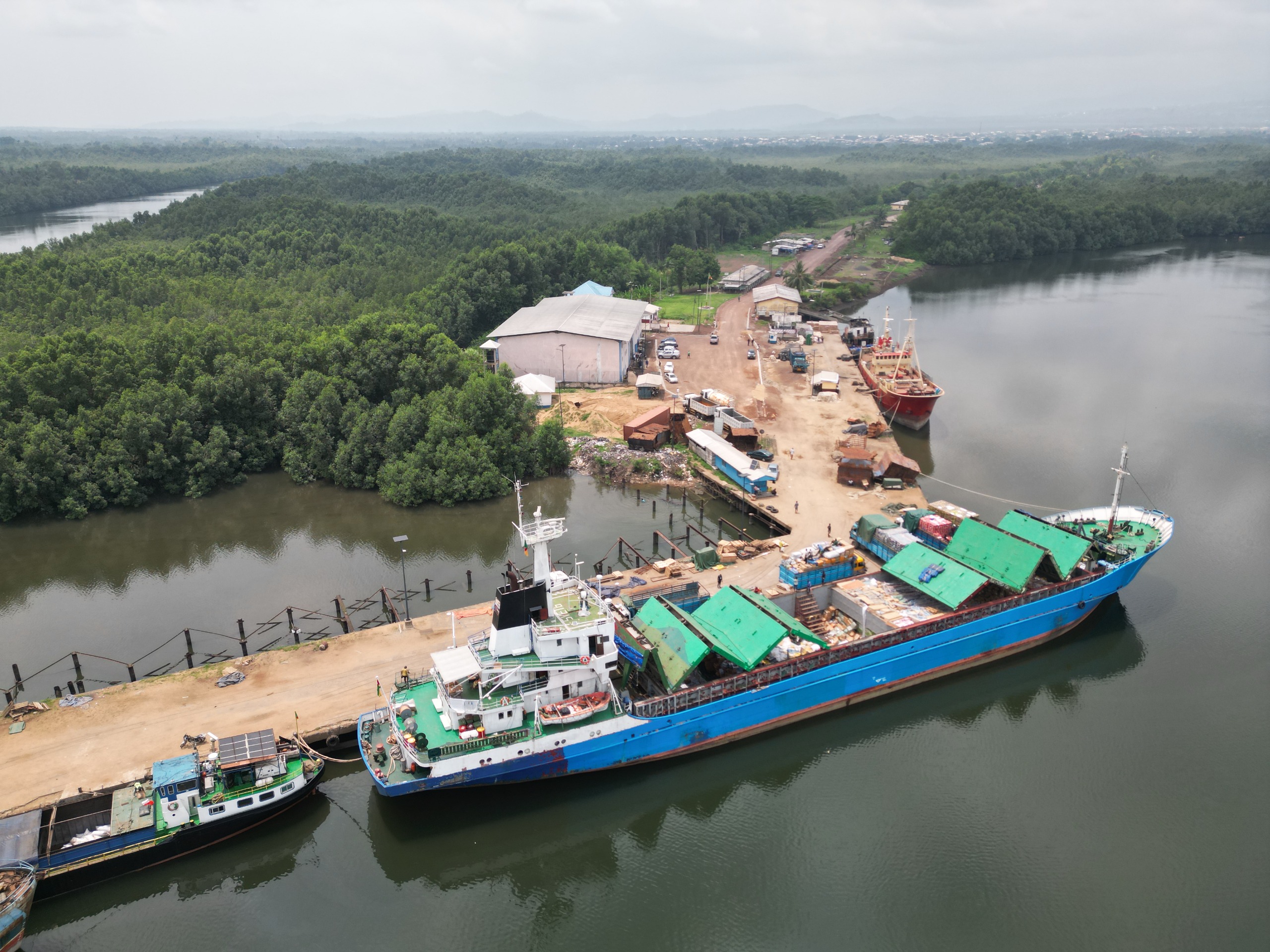
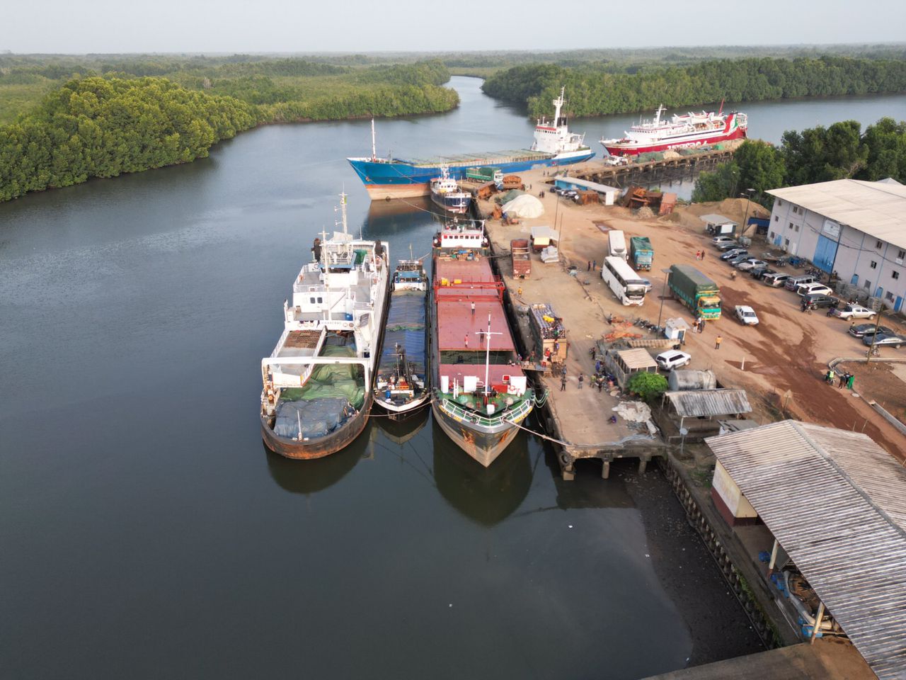
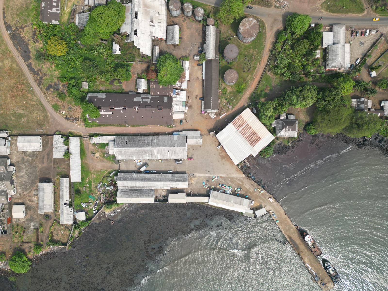
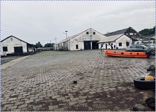
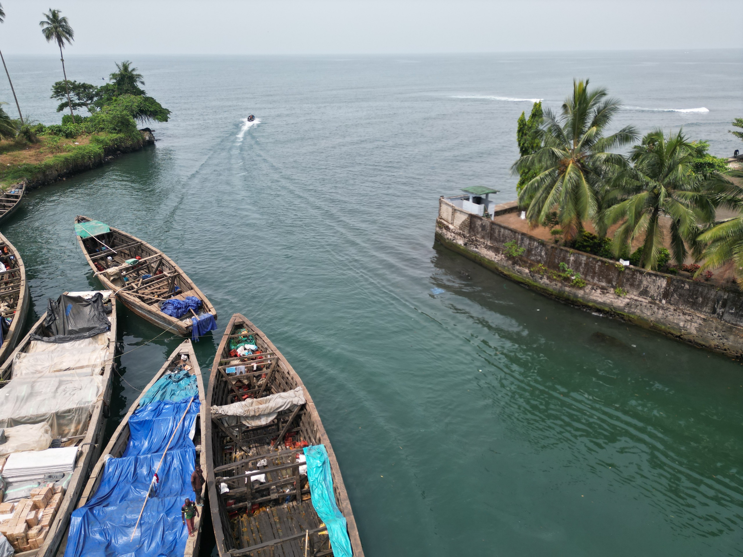
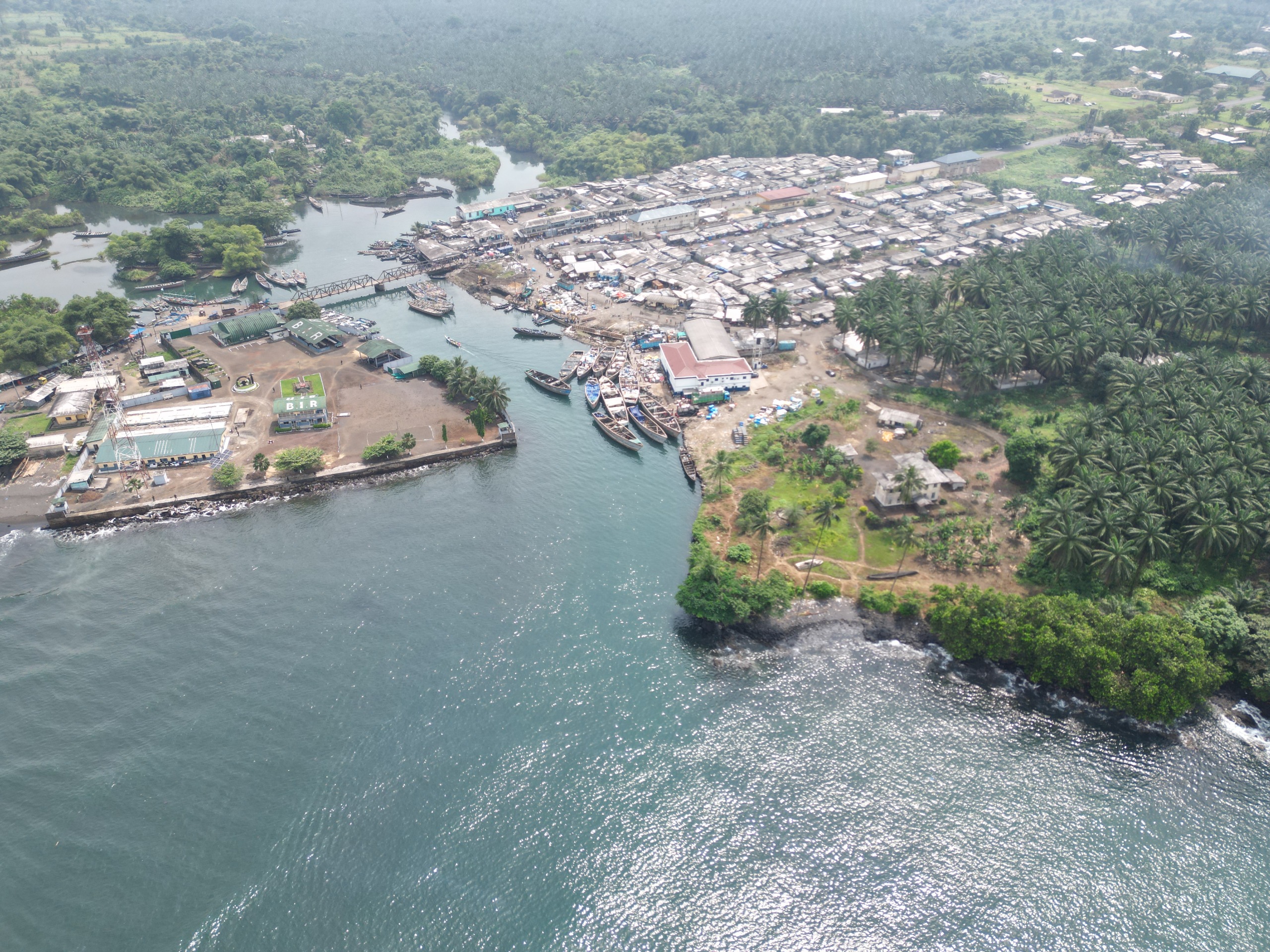
Tiko is about 21km to Limbe, 46km to Idenau by Land. Maritime access to this port is through the Bimbia estuary with an average depth of about 3.5m. This port could practically share the shame anchorage with the Port of Douala. The Strength of this port lies in the calmness of its water through out the estuary. Equally, the area known as the Ova pool provides a sound stacking area for vessels. It has advantages that are irresistible for any maritime operator requiring a safe and secure area to conduct operations.
The Port of Tiko is situated at coordinates: Latitude: 30.59’53’N and Longitude: 9017’24’E
The industrial Terminal of Cape-Limboh
The Cape Limboh terminal is dedicated to handling of activities being carried by the National Oil Refining Company(S.O.N.A.R.A) and the National Engineering and Industrial Shipyard Company(CNIC). The former handles incoming and outgoing petroleum products and inputs while the latter provides facilities for the maintenance and construction of ships using the latest technical and technological approach at very competitive price. Among other factors, the following reasons explain why ship owners and hirers as a must to go destination:
Security of its operations
The opportunity provided by the adjacent shipyard as the availability of local and diverse technical manpower
The relative calmness of the waves provides a safe as well as the availability of local operations.
In actual fact, the strength of the waves are tempered by the various islands surrounding the Port.
This Terminal is situated at the following coordinates: Longitude 090 07′ 50’E Latitude 040 001′ 01’N
Commercial port of Bota
The commercial Port of Bota operates stands as one of Cameroon’s earliest maritime gateways, strategically located on the Gulf of Guinea. It plays a pivotal role in facilitating trade between Cameroon, Equatorial Guinea, and Nigeria, while supporting cargo handling, warehousing, and transit operations. With government-backed plans for a deep-sea port and growing international investment interest, Bota is evolving into a modern hub capable of handling heavy products and larger vessels. Its history, location, and future development make it a cornerstone of PAL’s operational landscape and a vital link in West Africa’s maritime economy.
The Port of Bota is situated at coordinates: Latitude: 90. 12E and Longitude: 40 00N
Port of Idenau
Most of the sea borne transport of this port is done through the use of artisanal boats equipped with engines with the principle destination being Nigeria. The strength of this port lies in the calmness of its water through out the estuary. Equally, the area known as the ova pool provides a sound stacking area for vessels. It has advantages that are irresistible for any maritime operator requiring a safe and secure area to conduct operations.
The Port of Bota is situated at coordinates: Latitude: 4. 21, and Longitude: 8.9901 III N 4 12’36”, E 8 59′ 24″
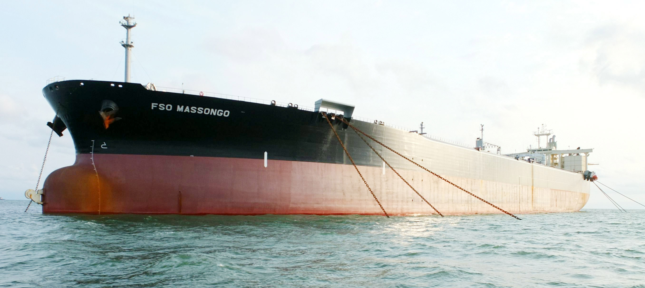
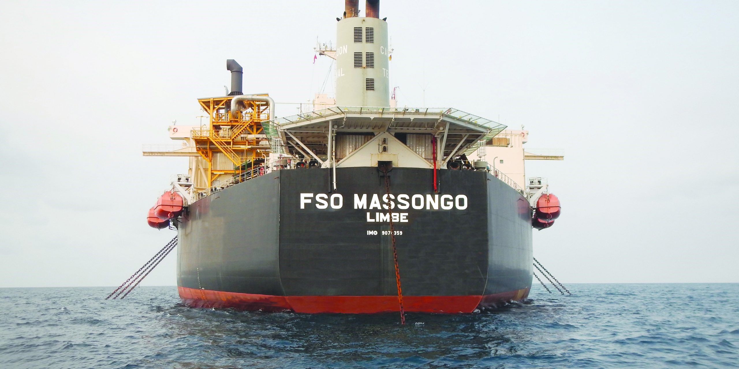
Massongo Offshore Terminal
Maritime Safety & Vessel Traffic Control
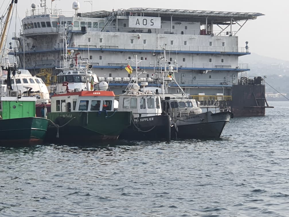
PAL oversees vessel movements to and from the Massongo Terminal, ensuring that tankers comply with international navigation standards. This includes coordination of mooring, towing, and emergency readiness, so that offshore transfers are conducted without incident.
Environmental Protection & Spill Response
Given Massongo’s role in crude oil exports, PAL enforces strict environmental safeguards. The Authority monitors hydrocarbon recovery, waste oil management, and pollution control measures, ensuring that offshore operations do not compromise marine ecosystems. PAL also maintains firefighting and emergency response protocols that extend to offshore facilities
Regulatory Oversight & Compliance
PAL integrates Massongo’s activities into Cameroon’s wider port system by enforcing customs, security, and operational policies offshore. This ensures that crude oil exports align with national regulations and international maritime conventions.
Infrastructure Support & Coordination
While PAL does not operate the terminal directly, it provides infrastructure support through channel maintenance, buoy marking, and navigational aids. These services guarantee safe access for large crude carriers (up to 280,000 DWT) that call at Massongo.
Fortified Security Along Our Coastline
The strength of this ports lies in the security that they provide, against acts of piracy and other maritime related crimes. Security is buttressed along the coast line by the presence of the various elite brigades of Cameroon Defense forces.
True prosperity sails only where safety anchors the shore.